-
Discuss with your students what an explorer does.
Tell your students that they will be taking a journey to
Ancient Rome to explore how it was back then.
-
Have
students find Italy using a world map. Harcourt Brace Social Studies Atlas page A2-A3
-
Then
ask them to locate Rome. HBSS Page 457-458 or other.
-
Point
out some of the general geographic features of Rome such
as the fact that it is a peninsula surrounded by three
seas. The city sits on the Tiber River which gives the
people the water they need and it is surrounded by mountains with rich soil to grow crops.
-
Tell
your students that today Rome is the capital of Italy but
Ancient Rome was not just the little city they see on the
map. The Roman Empire grew to include lands in Europe,
Asia and Northern Africa.
-
Inform
your students that they are now ready to begin their
journey to Ancient Rome.
-
Give
students an activity worksheet
to complete as they go on
their exploration of the geography of Ancient Rome.
-
First,
students
will visit Geography
of Rome Here
they will get an idea of where they would have been if
they lived in ancient Rome and what they would have seen if
they looked out of their window. They will answer
questions on the activity sheet regarding Rome's
geographical land features and other sights.
-
Next
students will print an outlines of Africa and Europe
to use later in their search.
-
Students
will go to Enchanted
Learning Africa
and print an outline of Africa Then visit Enchanted
Learning Europe and
print an outline of Europe. They will use these
outlines later when they search for ancient maps of the
Roman empire. Enchanted
Learning Africa
and print an outline of Africa Then visit Enchanted
Learning Europe and
print an outline of Europe. They will use these
outlines later when they search for ancient maps of the
Roman empire.
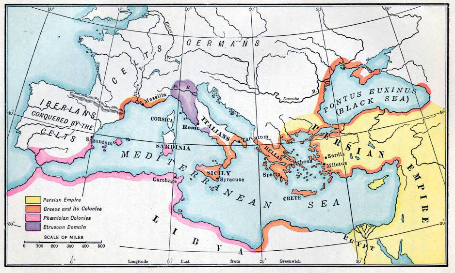
-
Students
will take a closer look at this Ancient
Rome map
and Roman
Empire map
to see all the land the Romans had conquered. They
will use the outlines of Africa and Europe they printed to
label the land the Romans had conquered and what countries
are they today.
-
Tell
students that we will be focusing mainly on the country of
Italy where the city of Rome is located so they will go to
Enchanted
Learning
to print an outline of a map of Italy and label the map as
instructed in their activity sheet.
-
When
the students have completed the map activities they will
take a quiz.