|
Mapping Africa |
|
|
Table of Contents
|
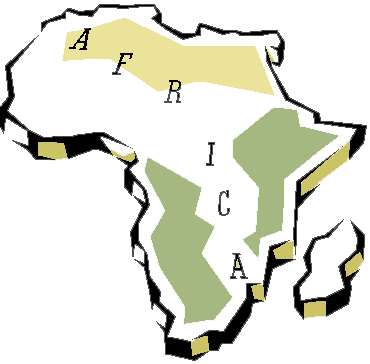
Objectives: 1. Identify and label the countries of Africa. 2. Identify and label the major landforms and waters of Africa Key Words: political map continent Timeline: 2-3 hours Materials: blank political map, color pencils, on-line atlas, reference maps. Procedures: 1. Using a large wall map of the world or globe show students the location of Africa. Inform students that Africa is the second largest continent. Tell them that there are over fifty countries on this continent. Discuss the location of Africa relative to the United States. Point out some of the major countries in Africa. Identify the major bodies of water located near or in Africa. 2. Hand each student a blank political map of Africa. 3. Explain to students the characteristics or features found in a political map. Inform students that they will complete a political map of Africa. Explain to students that they must label all the African countries and their capital city, and the major bodies of water (Atlantic Ocean, Indian Ocean, Mediterranean Sea, etc). 4. Using the Perry-Castañeda Library Map Collection or world atlas each student will label their maps. 5. Once students have submitted their completed maps have them test their knowledge on the countries of Africa by playing the African Map Quiz. Assessment: Maps will be scored using the following rubric: (1)point- Title (1)points- Map Symbols/Legend/Compass Rose/Scale (2)points- Bodies of Water (6)points- Countries/Capitals 10 points= A; 9-8 points= B; 7 points= C, 6 points= D; 5 points or less= F Extension Activities: Have students play "Where in Africa" on-line or create their own interactive map game. Web Links: The Africa Guide: interactive map of Africa that includes general country-specific reference information. The Living Atlas: overview information on the physical landscape of Africa. World Atlas.com: interactive political map of Africa that includes general reference information. Maps.com: downloadable maps of Africa. Maps of the World: printable physical and political maps of Africa. CIA Factbook: detail reference information on African continent. Where in Africa? Interactive Map: interactive on-line map game. Identification of countries based on shape and location. African Maps: printable detail maps of African countries. African Quizzes: on-line quiz on the political geography of Africa. African Quiz: on-line quiz on the political geography of Africa. |