Alicia Grace has been teaching for seven years at PS 35. She is currently teaching second grade. She previously taught third grade. She obtained her Masters degree from Mercy College in 2004. She also attended Lehman College in 2005, working towards a TESOL certification. Future plans include the completion of her TESOL credits and obtaining a Masters degree in English.
Students used digital cameras, video camcorders, and tape recorders to capture neighborhood landmarks and important people.
Instructional
Objectives
Students navigate through www.mapquest.com in order to locate neighborhood landmarks and obtain directions to those landmarks.
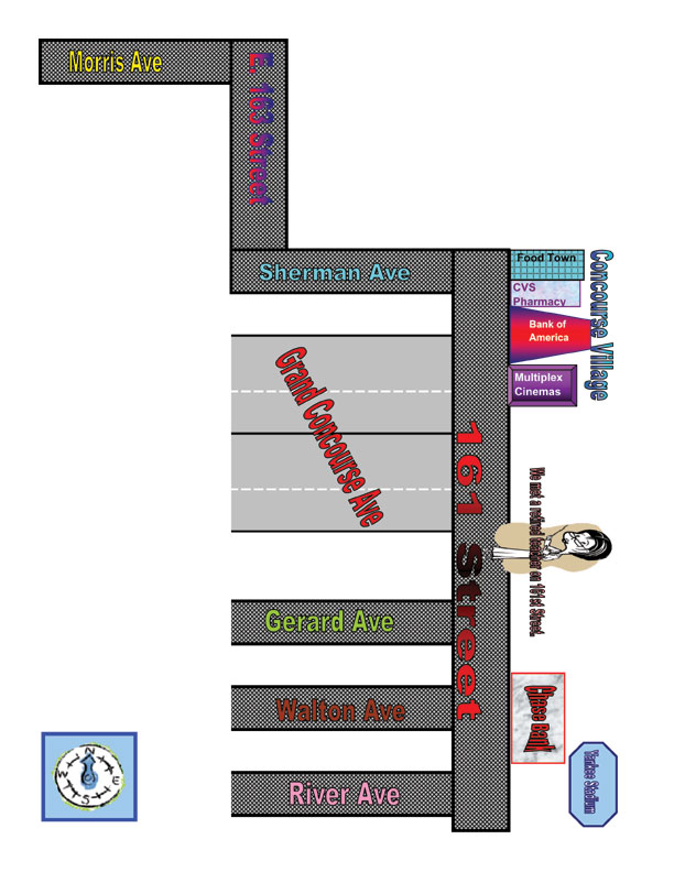
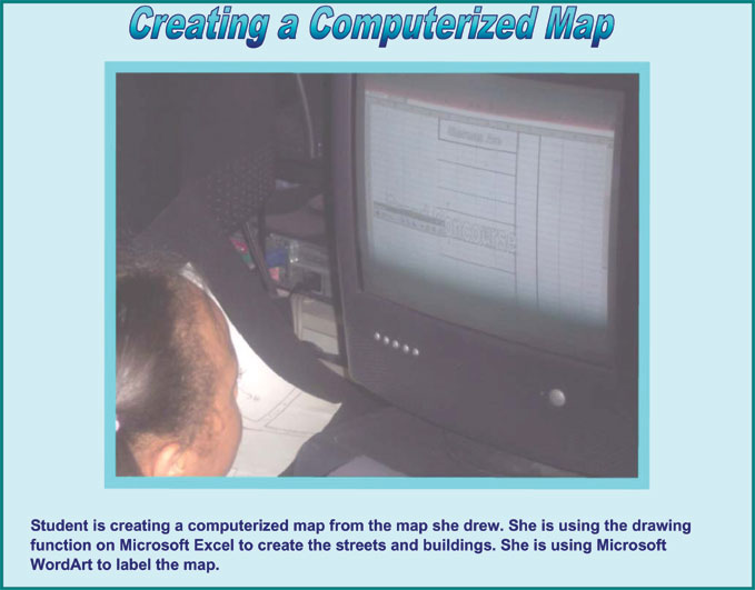
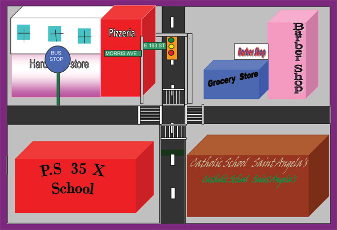
Students create neighborhood maps using Microsoft Exel drawing program.
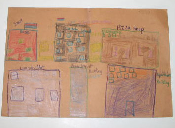
Students operate various types of technology, to gather information about their community, storing the information on film and tape.
Students conduct interviews with various important people in their community.
Technology Integration
Technology was used to gather information about their community. www.mapquest.com was a valuable web site used by students.
Assessment
Students were assessed by their ability to operate the equipment, create maps of their own neighborhood, label various landmarks, identify important people in their community, enter starting point information, enter end destination information, and read street names on a map on the web site mapquest.com.
Tips
for Teachers
My recommendation for teachers interested in adapting this unit would be to expose their students to a wide variety of technology resources, take neighborhood walks once a month, and let the children work in small groups.
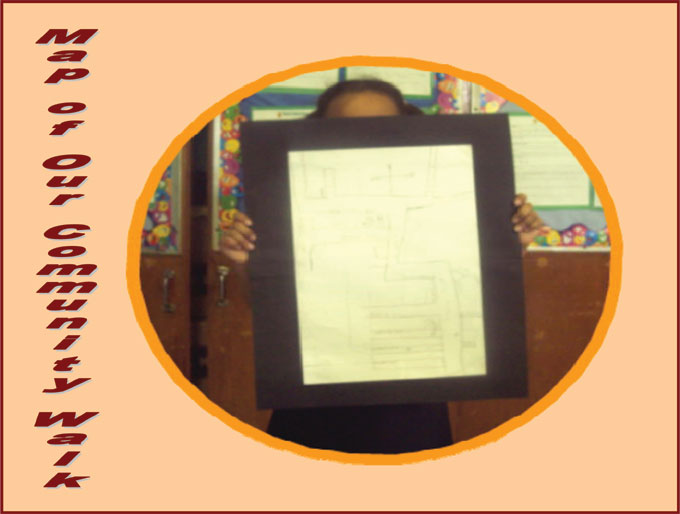
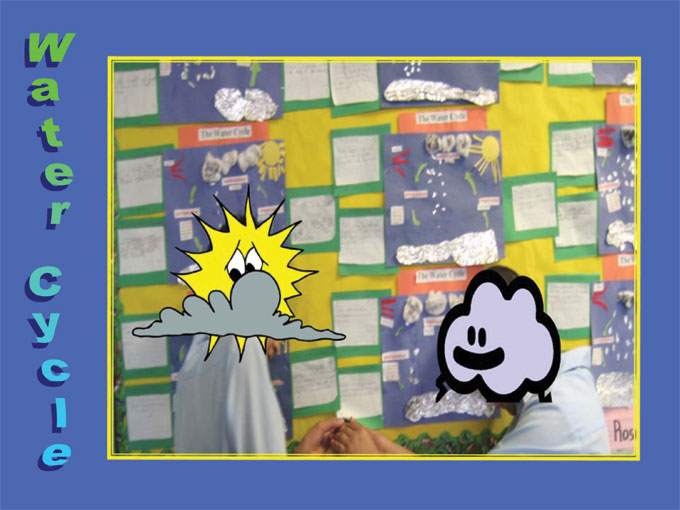
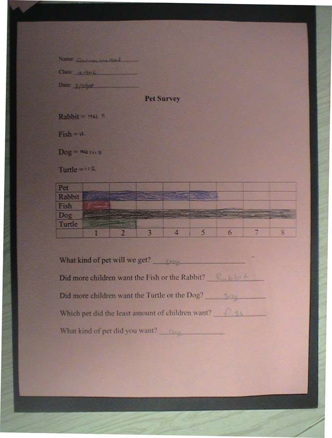
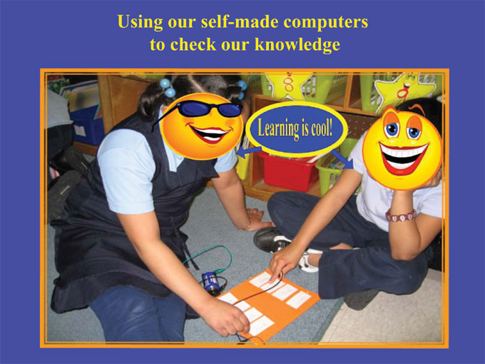
Student Work Samples
Click on each thumbnail to see a full-screen version.
Come across an outdated link?
Please visit The Wayback Machine to find what you are looking for.


