Lesson Three
Map Making - Island Maps
(map, title, map key and scale, and Internet Aerial Views)
Instructional Objectives:
Students will access the Internet.
Students will gain a better understanding of maps and
map making by creating their own maps.
Students will increase their map skills.
Students will use the Internet for telecommunication.
Time Required:
5 ten-fifteen minute sessions for sessions 1-5,
1 fortyfive minute - one hour session for session 6.
Advance Preparation and Prerequisite Knowledge/Skills:
-
Know how to access and use Internet
-
Sessions 1-4, map skills, are a prerequisite for session
6, the making of the map.
-
How to use a spreadsheet program (you might want to have
the spreadsheet chart ready- see Brainstorm
Page
Materials/Resources Needed:
-
poster sized white drawing paper (12 x 18 in.)
-
asssorted art materials such as crayons, colored pencils,
watercolors and markers
-
a social studies book with map skill lessons or a map skills
unit (I used
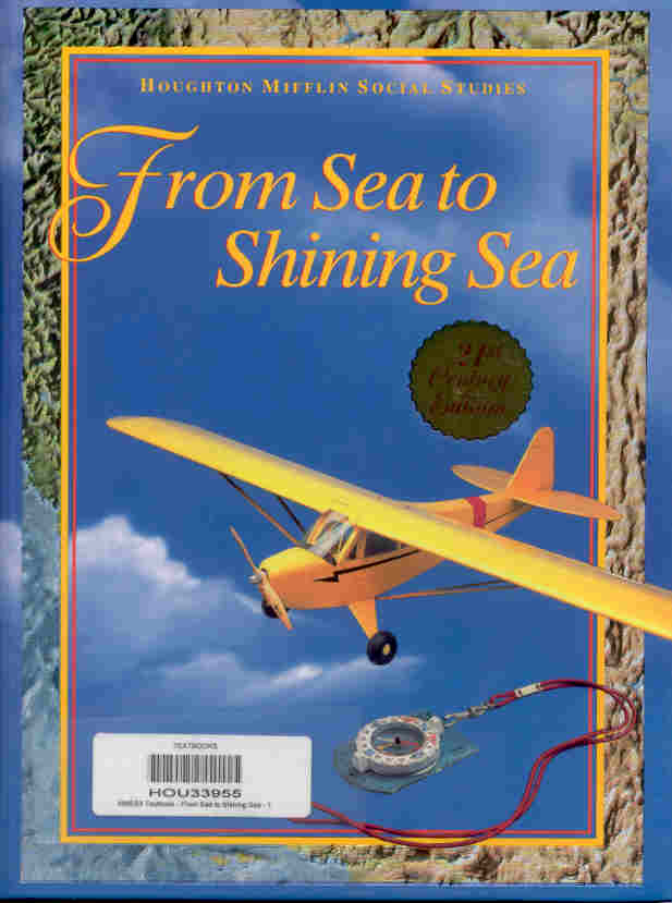 From
Sea to Shining Sea, Houghton Mifflin Social Studies, third grade, 21st
Century Edition. Pages G2, G3, G5, G6, and G7)
From
Sea to Shining Sea, Houghton Mifflin Social Studies, third grade, 21st
Century Edition. Pages G2, G3, G5, G6, and G7)
-
assorted old and new maps (It is especially helpful to have
examples of ancient maps with elaborate graphic illustrations such as those
of clipper ships, sea monsters, or wind-blowing clouds, and/or of maps
of islands)
-
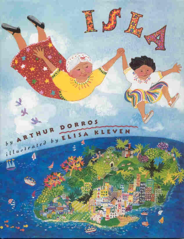 the storybook
Isla
by Arthur Dorros, illustrated by Elisa Kleven
the storybook
Isla
by Arthur Dorros, illustrated by Elisa Kleven
-
computer with Internet and the list of sites
-
spreadsheet program
Websites:
Geography, Climate, Maps, People, etc.: http://geographic.org/
Mapblast: http://mapblast.com/myblastd/
Mapquest: http://mapquest.com/
Maps and aerial views: http://maps.com/cgi-bin/magellan/Map_Store___Satellite_MapsGLOBEXP1
Globexplorer: http://globexplorer.com/
Maps 101 (requires subscription): http://maps101.com/
Vocabulary:
Scale, key, landforms, features,
Procedures:
Session 1 - (I use our adopted Social Studies book, pages
G2-G3, Understanding a map)
-
Using maps or other map skill materials help the students
understand how a map can represent an area of land, country, a city, neighborhood,
etc.
-
If available an aerial photograph of a small area of a city
(2-3 blocks) and a drawing of the same photograph, from the same angle,
can be used for finding specific buildings, streets, etc., and making the
connections between the two.
-
have the students imagine that they are floating in the classroom
near the ceiling. Have them draw a map of the classroom
-
Point out that maps have titles.
Session 2 - ( I use our adopted Social Studies Book,
page G5, Using a map scale)
-
Using maps or other map skills materials show the students
that maps have are representations of areas to scale.
-
Show the students where maps show the scale, and have them
practice finding the scale on maps
-
Explain how the scale tells how much smaller the map is than
the area it shows
-
Find a simple map (a few blocks) and draw a scale where one
inch represents a mile. Have the students find the actual distance from
one point to the other (selected by teacher) (a lot of map skills materials
have worksheets of the sort)
Session 3 - (I use our adopted Social Studies book, pages
G6-G7, Using a map key)
-
Using maps or other map skills materials show the students
that maps have keys.
-
Explain what the key means
-
Explain how the key has symbols that represent things on
the map. For example: what do the stars mean on a map of the US? Stars=
State Capital
-
Have the kids practice reading keys from different maps and
finding the items that are represented by the symbols
Session 4 - Internet
-
Guide the students in navigating the sites mentioned above
or others selected by you
Geography, Climate, Maps, People, etc.: http://geographic.org/
Mapblast: http://mapblast.com/myblastd/
Mapquest: http://mapquest.com/
Maps and aerial views: http://maps.com/cgi-bin/magellan/Map_Store___Satellite_MapsGLOBEXP1
Globexplorer: http://globexplorer.com/
Maps 101 (requires subscription): http://maps101.com/
-
Relate what the children observe at this sites with what
they have learned so far
-
Give the students time to explore the sites (supervised)
and make their own discoveries (supervision is easier if this activity
is done in a computer lab
Session 5 - Brainstorm Tropical Island Places
-
Use the book "Isla" to help the students brainstorm places
that they might find on a tropical island
-
Use a speadsheet program to record the brainstormed ideas
for:
"Tropical Islands" Places (volcanoes,
harbors, etc., animals (for decoration) and plants (fruits, flowers,
etc. for plantations and such) Or you can use chart paper or a chalkboard/whiteboard.
I have students take turns recording their classmates ideas
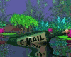
Session 6 - Make map
-
Review the information learned in the previous sessions
-
Tell the students that they will create a map of an imaginary
island of their own. Give them a few minutes to visualize it
-
Use the brainstormed lists of tropical island places for
ideas
-
Tell the students that their map must include a title, key
and compass rose (you can also have them use scale, but I did this at the
beginning of the year, so I made it simpler)
-
Use paper that is large (12x18 in. or larger) so that it
has more of a map feeling. Have the students fold over 3-4 in. of the paper
on the short side for the key. Do it in pencil first, then color with crayons,
pencils or watercolors. Highlight titles and such with markers
When done the maps can be scanned or photographed to be sent
via E-mail to "Keypals"
Activities:
-
Read and learn about map skills and map features such as:
compass rose, scale, key and title
-
Look at aerial views of communities and more, experiment
with aerial views of neighborhoods, cities, etc., and connect them to the
idea of mapmaking
-
Create a map of an imaginary island
Extensions or Follow-up (related Special Projects,
events):
-
Make a "Location" Book
-
Practice Map skills with local area maps. Find what is North/South/East/West/NE/NW/SE/SW
of your city/town. In what direction does the main freeway run, etc..
-
Wrinkle the maps to make them look old, fold like maps and
place in a class "map file" (basket or a box)
-
Make a class book after lesson four
(writing a story about your island)
Homework:
Take your map home and explain it to your parents, siblings
and other relatives. Don't forget to bring it back to school, because you
will need it for inspiration when writing your story (lesson
four).
Ask your parents if they have any maps that they use
and have them show them to you. Look for a title, scale, key and compass
rose.
Evaluation:
Map- Does the map have the following:
| A Title |
10 points |
| A Key |
10 points |
| A Compass Rose |
10 points |
| A Scale |
10 points |
| Good Artwork |
10 points |
50 points = 100% = A
Illustrative Materials (worksheets, handouts, graphic
organizers, photos, maps, and answer keys):
Brainstorm Page (Excel)
Blank Brainstorm Page (Excel)
Location Book Sample
Student Work Samples:
Jessica N. Rivera
November 2002